
The Mission
| Mobilization time | 18–36 hrs from notification (CONUS) |
| Aircraft | Piper Aztec (rapid deployment), Commander 500S (large area) |
| Preliminary delivery | Imagery within 24 hrs of landing |
| Full product delivery | 3–7 days post-flight |
| Simultaneous ops | Dual-aircraft for large-area coverage |
| Contract vehicles | Available for standing emergency agreements |
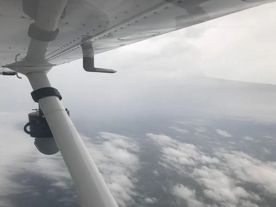
When disaster strikes, situational awareness is the first requirement. Aerial data — orthoimagery and LiDAR — delivers that awareness faster than any ground-based alternative. Talos Aviation Group maintains aircraft on operational readiness across both East and West coasts, enabling rapid deployment to any CONUS location following natural disasters, infrastructure failures, or declared emergencies.
Talk to Our TeamWhat We Fly
Post-Disaster Damage Assessment
Rapid deployment following floods, hurricanes, tornadoes, and wildfires. High-resolution imagery (PhaseOne PAS280 RGB/NIR) for FEMA Individual Assistance support and damage quantification.
Flood Inundation Mapping
LiDAR-derived bare-earth models and simultaneous imagery to delineate flood extent, model inundation depth, and support FEMA Flood Insurance Rate Map updates.
Wildfire Perimeter Mapping
Near-real-time orthoimagery of active and post-fire areas for incident command situational awareness, suppression resource positioning, and post-fire erosion risk modeling.
Infrastructure Damage Documentation
Bridge, road, levee, and utility infrastructure aerial documentation following major events — supporting prioritization of emergency repair resources.
Search & Area Management Support
Aerial imagery to support incident command area management, access route identification, and resource deployment planning.
Recovery & Restoration Monitoring
Multi-temporal acquisition to document restoration progress, drainage restoration, and land cover recovery for federal reporting requirements.
Why Talos for Emergency Management
Speed is the mission requirement in emergency response. Our two-base structure means we're never far from a major disaster zone. We maintain deployment-ready aircraft and can task crews within hours. Preliminary imagery is available to incident commanders the same day we land — before full processing is complete.