
The Mission
| Aircraft | Cessna Turbo 206, Piper Aztec |
| Minimum parcel size | 50 acres (below this, UAS may be recommended) |
| LiDAR density | 8–20 pts/m² (Optech T2000 or Orion M300) |
| GSD | 2 cm – 6 cm for design-level work |
| Volume accuracy | ±2–3% for stockpile and earthworks volumes |
| Typical turnaround | 5–10 business days from flight |
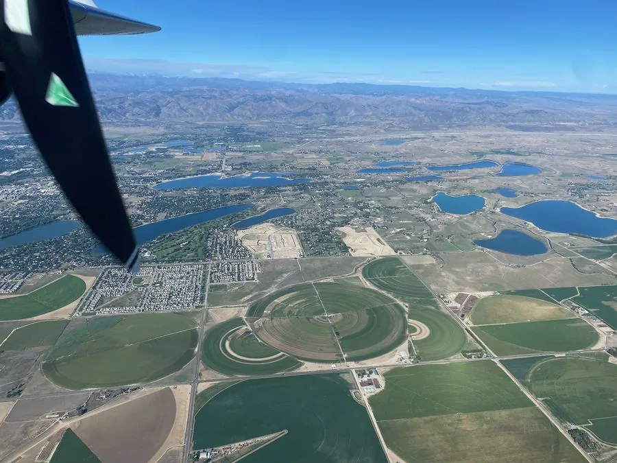
Land developers, civil engineers, and survey firms rely on accurate topographic data to make early-stage project decisions that determine project economics. Fast, accurate aerial acquisition gives design teams the site intelligence they need without waiting weeks for ground survey crews to cover large parcels.
Talk to Our TeamWhat We Fly
Pre-Development Feasibility Survey
High-resolution LiDAR and orthoimagery for large parcel feasibility analysis — slope analysis, drainage patterns, viewshed modeling, and general site suitability before committing to ground survey.
Subdivision & Master Plan Mapping
Photogrammetric topographic mapping at GSD and accuracy levels appropriate for preliminary and final subdivision design.
Grading & Cut/Fill Analysis
LiDAR-derived DTMs used for earthworks optimization, reducing cut/fill imbalance and lowering construction cost before a single blade turns.
Construction Monitoring
Periodic aerial acquisition to track site progress, document cut/fill volumes, and provide updated topography to design teams during active construction.
Environmental & Wetlands Mapping
High-resolution imagery and LiDAR for wetland delineation support, habitat mapping, and environmental permit applications.
As-Built Aerial Documentation
Post-construction orthoimagery and terrain to document finished site conditions for owner records and regulatory compliance.
Why Talos for Land Development & Engineering
Developers and engineers need topographic data quickly, at a price that makes sense for the project stage. Our aircraft can cover large sites in a single flight day — giving your design team current, accurate terrain without ground survey mobilization delays.