
The Mission
| Aircraft | Cessna Turbo 206, Piper Aztec |
| Volume accuracy | ±2–3% RMSE for regular stockpile shapes |
| LiDAR density | 10–20 pts/m² (Optech T2000 or Orion M300) |
| Survey frequency | Monthly, quarterly, or on-demand |
| Typical area | 50 – 10,000 acres per site |
| Turnaround | 3–7 business days post-flight |
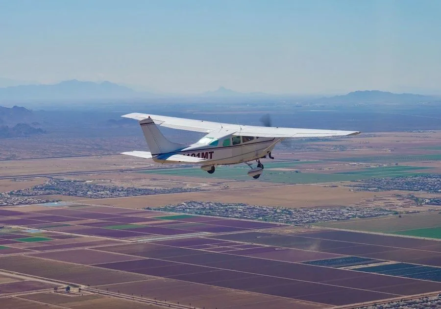
Mining and aggregate operations need reliable volume measurements, accurate mine progression data, and documentation for regulatory compliance — on a consistent schedule. Aerial LiDAR and photogrammetry deliver all of this faster and more safely than ground-based survey methods, without shutting down active operations.
Talk to Our TeamWhat We Fly
Stockpile Volume Measurement
LiDAR-derived volumetrics for crushed stone, overburden, ore, and aggregate stockpiles. ±2–3% accuracy for inventory reconciliation and financial reporting.
Quarry & Open Pit Progression
Periodic aerial acquisition documenting bench development, face advance, and pit geometry. Supports mine planning and regulatory reporting.
Haul Road & Facility Mapping
Orthoimagery and topographic mapping of active mine haul roads, facilities, and infrastructure for operations planning and safety management.
Reclamation & Compliance Monitoring
Multi-temporal acquisition documenting reclamation progress, slope stability, revegetation coverage, and drainage restoration for state and federal permit compliance.
Subsidence & Deformation Mapping
Repeated surveys over underground mine areas or tailings impoundments to detect surface deformation and subsidence patterns.
Pre-Mining Baseline Surveys
Pre-disturbance topographic documentation for permit applications and future reclamation bonding calculations.
Why Talos for Mining & Aggregates
Aerial volumetrics are safer, faster, and more consistent than ground-based stockpile surveys. We can fly an entire quarry in hours and deliver volume reports before the end of the week — without requiring any ground crew to work on active slopes or near heavy equipment.